TechTalkIMPACT

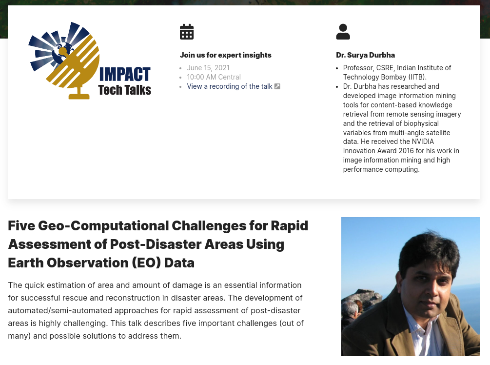
Invited Tech-Talk by Prof. Durbha at NASA IMPACT

Prof. Surya S Durbha, our group leader was invited to present expert insights at the NASA IMPACT Tech Talks. Prof. Durbha delivered the talk on the topic – “Five Geo-Computational Challenges for Rapid Assessment of Post-Disaster Areas Using Earth Observation (EO) Data“. More information on the NASA IMPACT can be found here. The talk covered expert insights on highlighting the five important challenges in rapid post-disaster assessment and possible solutions to address them. The quick estimation of area and amount of Read more

ResearchmattersNews

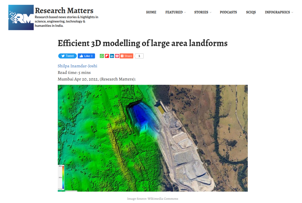
Research Matters Article features our LidarCSNet framework

Lidar is a technique that uses light pulses to gather information about land features which can be used to create a three-dimensional representation. A device installed on helicopters, drones, or tripods sends light pulses to the land and receives reflected signals from the ground under scrutiny. Depending on the time delay between the received and sent pulse signals, the number of reflections, and the intensity of reflected light pulses, a 3D representation of the region can be created. The lidar Read more

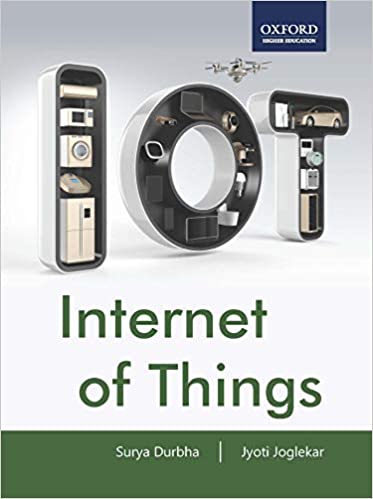
“Internet of Things (IOT)” Textbook Released

The textbook titled Internet of Things (IOT), authored by Dr. Surya Durbha and Dr. Jyoti Joglekar is designed for students of Computer Science, Information Technology, and Electronics & Communication Engineering to understand the interconnection and integration of the physical world with cyberspace and begin designing and developing simple IoT devices. The book is comprehensively crafted into five parts and describes the concepts in eighteen chapters. It takes the reader through the foundations of the subject before moving on to discussing Read more

Invited Keynote Speaker: IoT Innovation for Smart India

Dr. Surya S Durbha, our group leader was invited to be a keynote speaker at the International Conference on Smart Innovations in Design, Environment, Management, Planning and Computing. Dr. Durbha delivered the keynote on “IoT Innovation for Smart India”. The conference was organized by MGM’s Jawaharlal Nehru Engineering College Aurangabad, Maharashtra, India on 30-31 October 2020. More information on the conference can be found here. The conference sponsored by IEEE, Computer Society of India(CSI) and the Institution of Engineers(India) was Read more

Invited Expert: A Webinar on Artificial Intelligence in Extreme Event Detection and Monitoring

Dr. Surya S Durbha, our group leader was invited to be an expert speaker at the second webinar of Geo-informatics series – “Application of Artificial Intelligence on Geospatial Data”. The webinar was organized by the Department of Information Technology of Maulana Abul Kalam Azad University of Technology, West Bengal on 6th June, 2020. The webinar was focussed on bringing new insights about application of Artificial Intelligence and High Performance Computing approaches for Extreme Events Detection and Monitoring using Earth Observation Data. Prof. Read more

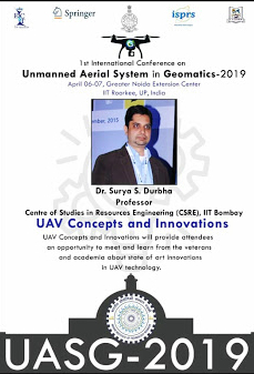
Plenary Talk Chair: UAV Concepts and Innovations in UASG 2019

Dr. Surya S Durbha, our group leader was invited to be a chair for the plenary talk on the theme UAV Concepts and Innovations at the 1st International Conference On Unmanned Aerial System in Geomatics – 2019. The conference was organised in cooperation with the International Society for Photogrammetry and Remote Sensing (ISPRS). The talk was conducted on the 7th of April 2019 at the IIT Roorkee Noida Campus.

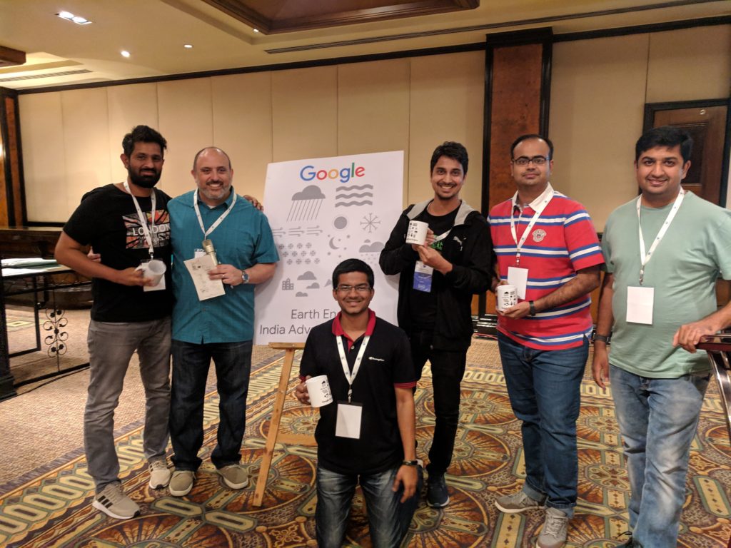
Acing the Build-a-thon at the Google Earth Engine India Advanced Summit

Our Ph.D. students – Abhishek Potnis and Rajat Shinde were selected to attend the Google Earth Engine India Advanced Summit by Google India in Bangalore. They were selected as one of the best teams for the Build-a-thon that took place during the summit. It was a two-day event where teams were expected to work on their problem statement using Google Earth Engine. The team consisting of our Ph.D students – Rajat Shinde and Abhishek Potnis worked on “Locating Solar Farms Read more

SIIM Framework Featured in Research Matters Article

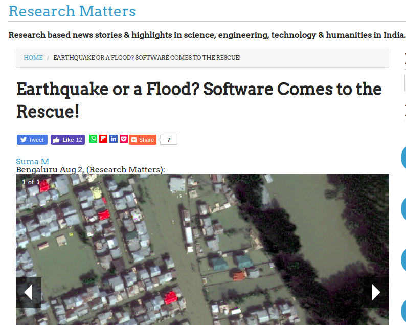
Satellite images are a rich source of data and can play a significant role during a disaster scenario in planning and mitigation activities. The images captured here contain low-level features like colour, texture and shape, which are understood by the system, but hardly make sense for the user. For example, a user may be interested in a search for ‘flooded residential areas’. Since the images capture the flooded areas with a different colour or texture, the system fails to understand Read more