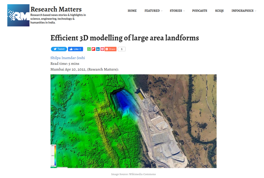
Lidar is a technique that uses light pulses to gather information about land features which can be used to create a three-dimensional representation. A device installed on helicopters, drones, or tripods sends light pulses to the land and receives reflected signals from the ground under scrutiny. Depending on the time delay between the received and sent pulse signals, the number of reflections, and the intensity of reflected light pulses, a 3D representation of the region can be created.
The lidar data is huge. It needs large storage memory and heavy computations to extract information about the area surveyed. Using lesser data points can reduce time and resource costs, but it compromises the accuracy of the 3D representation. The challenge lies in creating a representation that is very close to the original, using minimum data points.
Our proposed LidarCSNet uses a novel combination of computational methods called Compressive Sensing and Deep Learning to compress and reconstruct 3D lidar data. Compressive Sensing(CS) reconstructs information using fewer measurements or data points. Deep learning methods are machine learning algorithms that help ‘train’ the software to identify specific features in large datasets like audio, images, and video. The LidarCSNet is implemented as a stack of software modules where the layers work one after the other to yield a more accurate result. This design is easy and scalable to implement for large amounts of data and avoids iterations, unlike earlier implementations.
Our work also proposes LidarNet and LidarNet++ to classify uncompressed lidar data and the lidar data compressed and reconstructed using LidarCSNet at different compression levels. LidarNet++ gives the highest accuracy of classification among all the methods, on average over all the six land classes and at all compression levels. For example, LidarNet++ classifies 86.43% of the points accurately when 75% of the samples were used. This is of high significance for Land Feature identification. This work can immensely help lidar applications to optimize their speed and cost when surveying for the changes in land use and also in computer vision when building models of the surroundings.
This research is appreciated by the Research Matters and subsequently published as an article. We thank Research Matters Team and Ms. Shilpa Inamdar Joshi for their efforts in preparing and publishing the article.
More details of the work can be found here.