SIIM Framework Featured in Research Matters Article

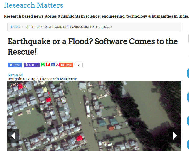
Satellite images are a rich source of data and can play a significant role during a disaster scenario in planning and mitigation activities. The images captured here contain low-level features like colour, texture and shape, which are understood by the system, but hardly make sense for the user. For example, a user may be interested in a search for ‘flooded residential areas’. Since the images capture the flooded areas with a different colour or texture, the system fails to understand Read more

Exhibits at World Congress on Disaster Management

The 4th World Congress on Disaster Management was held at IIT Bombay during 29th January – 1st February 2019.It was organized jointly by the Government of Maharashtra (India), Disaster Management Initiatives and Convergence Society (DMICS), Indian Institute of Technology (IIT) Bombay and Tata Institute of Social Sciences (TISS), and was designed to be the largest assembly on disaster management outside the UN system and had a plethora of exhibits related to rapid response in the wake of a disaster. Geocomputational Read more